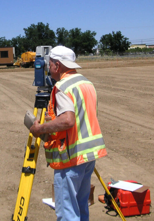
Maximizing legacy skillsets and modern technology
CWE provides land surveying services to municipal, commercial, and residential clients. With over 75 years of industry experience, our team has extensive knowledge and uses the latest technologies to deliver full-service survey services to our clients. Our field crews utilize modern data collection technology to serve our clients with a high level of accuracy and efficiency, including base stations, data loggers, and aerial drones.
Resource Mapping
Aerial Mapping
Legal Descriptions and Maps
Utility Locations and Mapping
Easement Maps and Descriptions
Title and Land Record Research
ALTA/ACSM Land Title Surveys
Boundary and Property Line Surveys
Construction Layout/Field Staking
As-built Surveys/Record Drawings
Condominium Maps and Declaration Documents
Subdivisions, Lot Divisions and Lot Line Revisions
BMP & LID planning & design
Regulatory compliance and support
Erosion control
Stream channel restoration
Engineered wetlands
Water quality master planning
SUSMP & WQMP development
