CWE performed a fish passage analysis and stream restoration design for the North Fork of Matilija Creek near Highway 33 in Ventura County. The project was initiated by California Department of Transportation (Caltrans) District 7.
The undertaking was designed to ease fish passage and improve their natural habitats. A fish passage analysis was required by regulatory agencies to evaluate project impacts. This is in addition to geomorphic and sediment transport analysis. HEC-RAS hydraulic models were used to study the existing and proposed hydraulic and sediment transport conditions.
In depth analysis was conducted to ensure project impacts on the stream channel and sedimentation would not impact juvenile fish habitat. Due to the step-pool approach taken, fish swimming and leaping capability evaluations had to be compared to existing and proposed condition hydraulics to ensure fish passage.
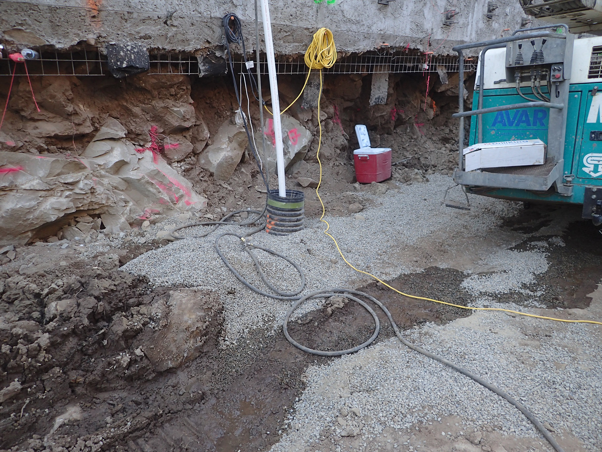
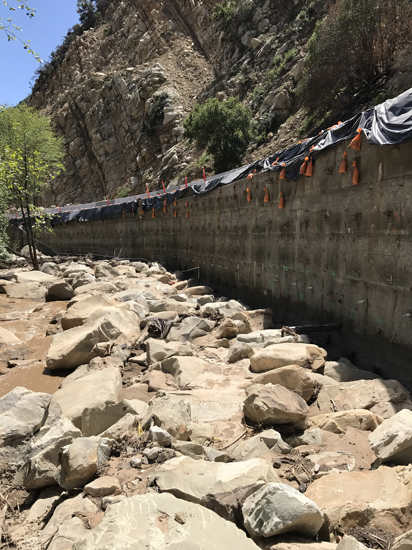
Caltrans proposed a soil nail wall replacement of an undermined section of a grouted rip-rap road embankment. The channel design provided reduced velocities, better riparian and fish habitat, and a more stable stream. The geomorphology, sediment transport, fish passage, and restoration design were assessed and approved. Plans were reviewed by the National Oceanic and Atmospheric Administration / National Marine Fisheries Service (NOAA NMFS), California Department of Fish and Wildlife (CDFW), and Caltrans.
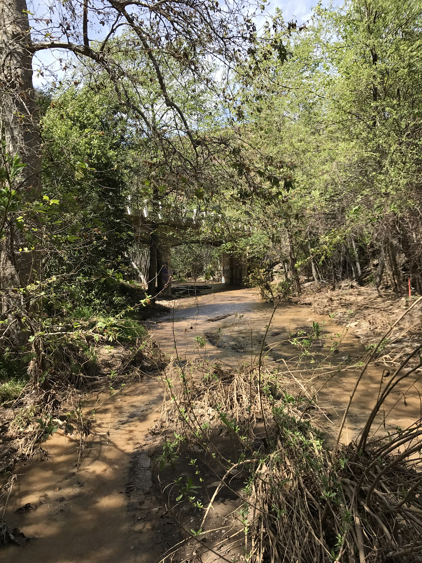
The engineering design provided a natural stream section to improve fish passage and habitat. It reduces flood flow velocities and solves the erosion issues along the highway embankment. Landscaping and irrigation plans were developed for the newly formed overbank area. Improved fish habitat features were constructed below the bank. These efforts did the job of stabilizing the fish habitat and controlling a difficult waterway.
Conduct fish passage analysis
Design stream restoration plan
Evaluate project impacts on stream channel and sedimentation
Use HEC-RAS hydraulic models to study existing and proposed conditions
Compare fish swimming and leaping capability to existing and proposed condition hydraulics
Propose soil nail wall replacement of an undermined section of a grouted rip-rap road embankment
Assess and approve
Geomorphology
Sediment transport
Fish passage
Restoration design
Review plans with regulatory agencies (NOAA NMFS, CDFW, Caltrans)
Develop landscaping and irrigation plans for newly formed overbank area
Construct improved fish habitat features below the bank
Stabilize fish habitat and control difficult waterway